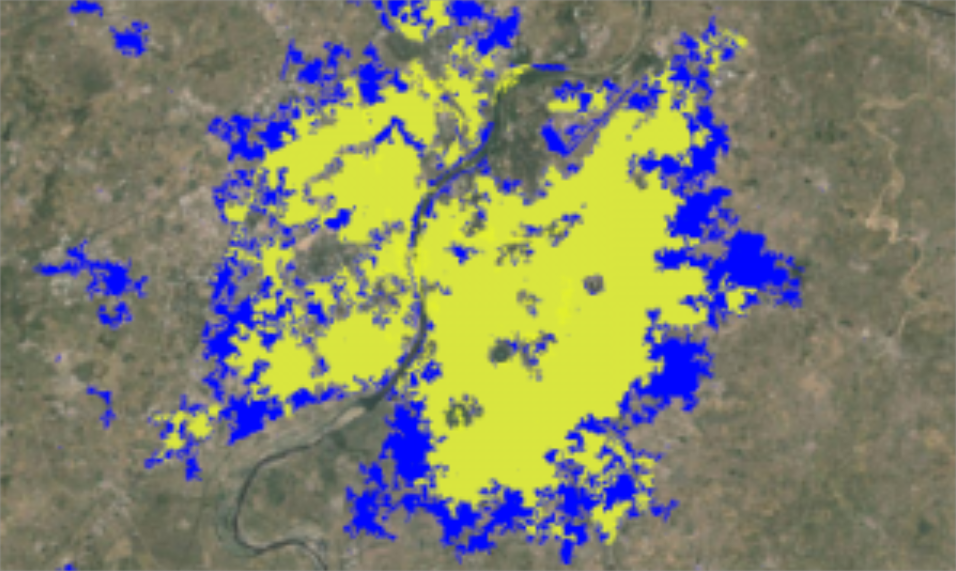
Urbanisation is a fundamental force that shapes many dimensions of the modern world, from land cover and land use around cities to economics and policy-making. However, the rate and magnitude of these changes have not yet been mapped globally with sharp precision. Traditionally, when researchers analyse urbanisation data, they search for images or vector layers and download all the information to their personal computer. To understand large-scale phenomena in cities and countries, much more powerful and parallel computer platforms are needed to run the analysis.
The Big Pixel Initiative (BPI) at the University of California San Diego focuses on computing capacity to empower such research. One case study zooms in on India and looks at informal settlements in cities by applying unsupervised machine learning techniques. The collected data is supported by CENIC, California’s Research and Education Network. Curious to learn more about the projects? Read it all on the In The Field blog.


Add Comment